
 Translate
Miller Creek Photo Tour: Follow the Stream through Burien, SeaTac, and Normandy Park to Puget Sound
Regardless of whether you've lived in the Miller/Walker Creek basin all your life or have just moved here, you'll find Miller Creek views you've never seen before!
References to "stream reaches" refer to the analysis of stream characteristics found in Appendix C of the Miller and Walker Creeks Basin Plan (Adobe Acrobat 4.6 MB).Photos are organized going from upstream to downstream.
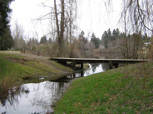
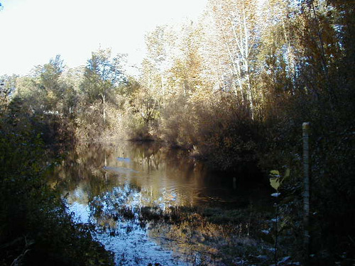
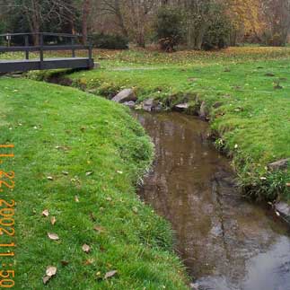
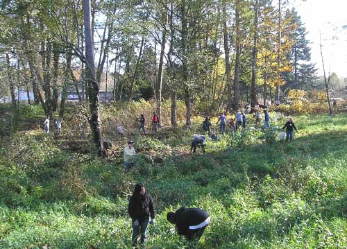
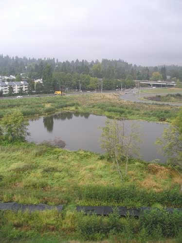
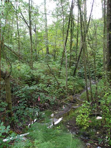
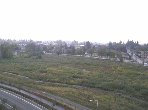
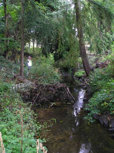
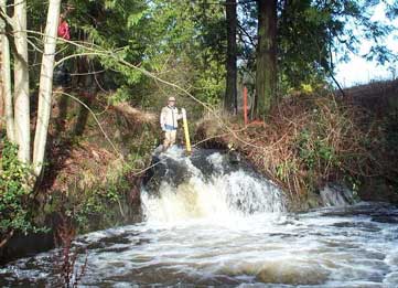
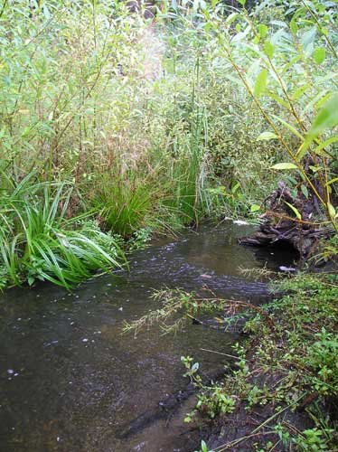
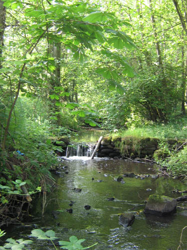
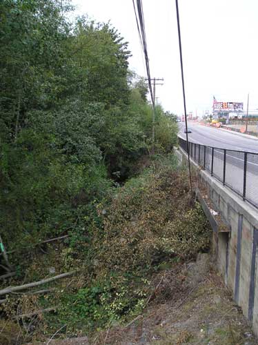
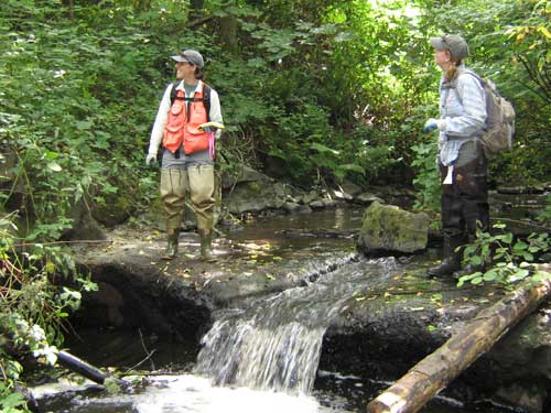
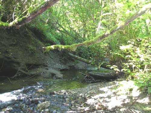
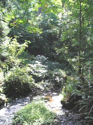
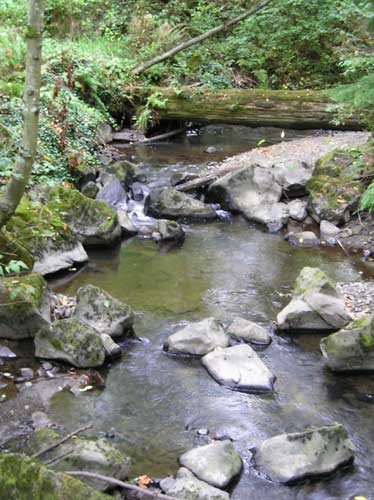
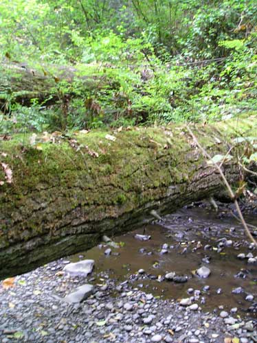
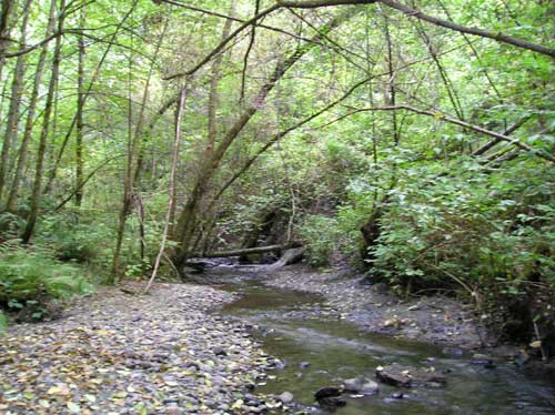
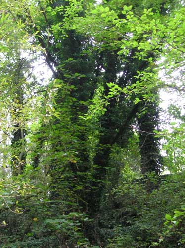
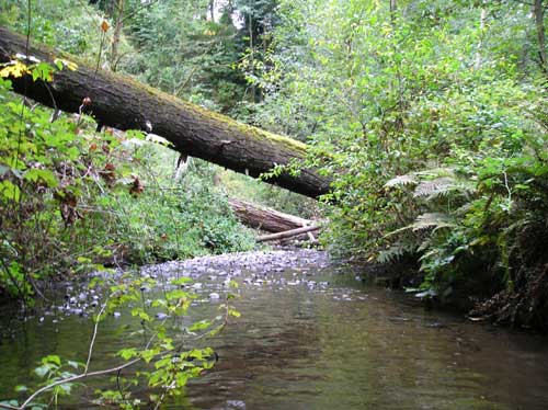
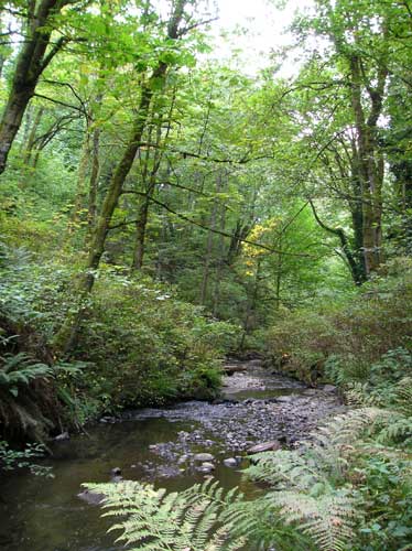
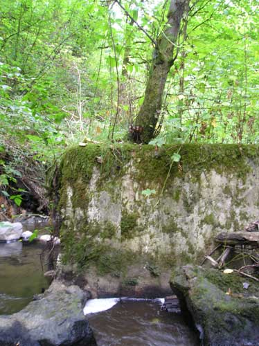
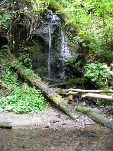
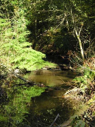
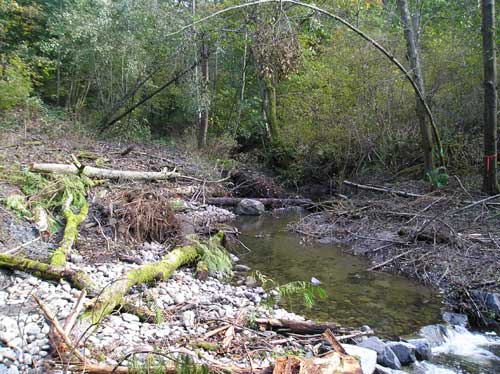
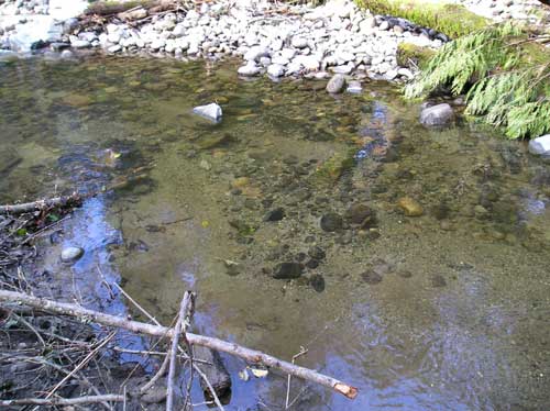
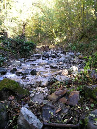
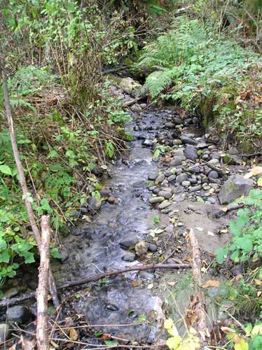
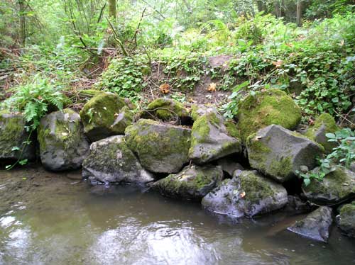
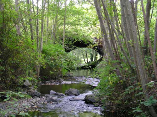
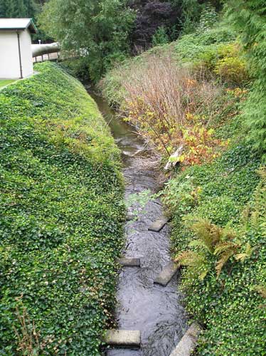
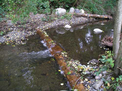
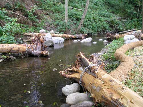
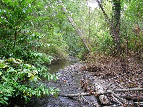
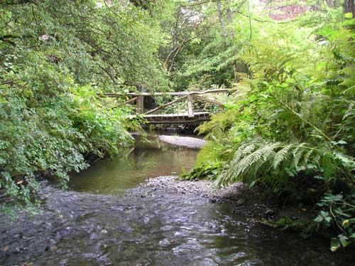
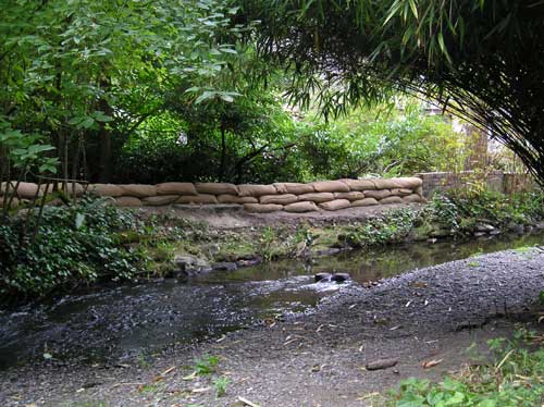
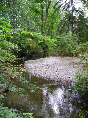
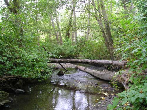
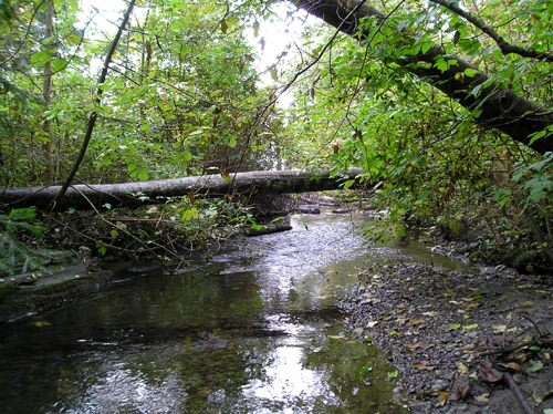
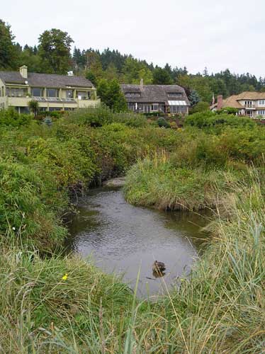
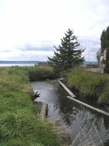
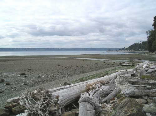
Miller Creek - From the Headwaters to the Sound
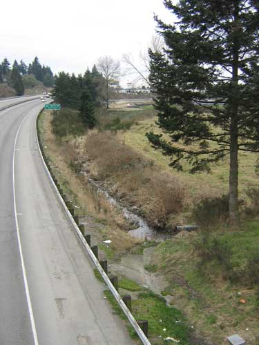
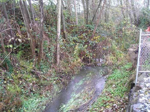
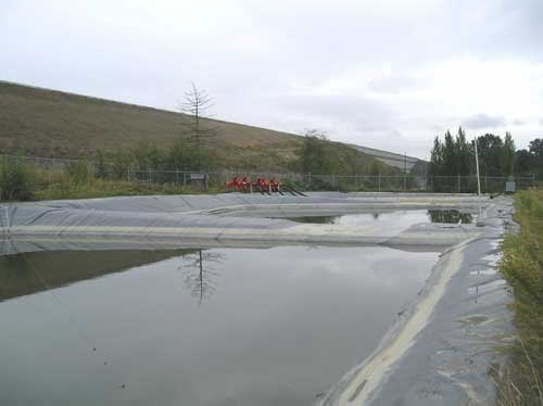
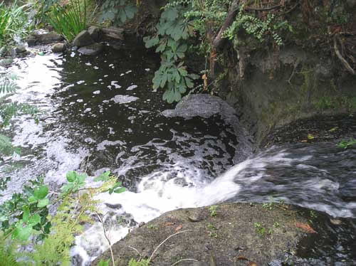
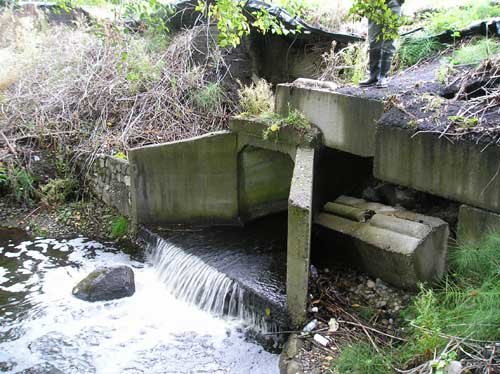
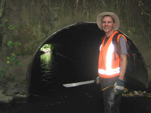
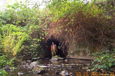
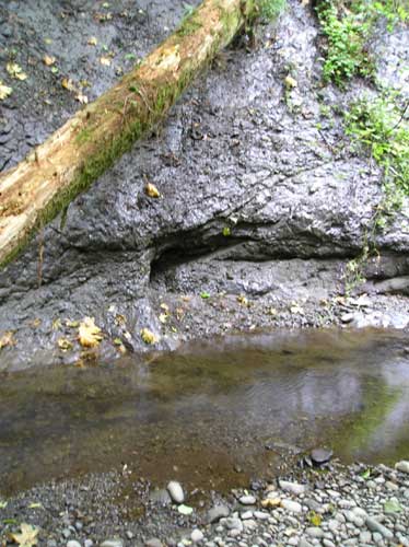
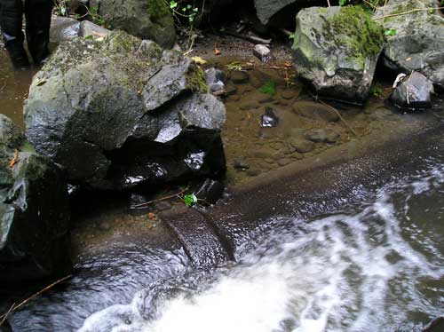
Culvert under S. 160th St. on Port of Seattle property. Culvert was a partial upstream fish passage barrier, in part because of the flat apron that spread out the water and made it too shallow for adult fish to swim through. September 17, 2007 photo. (Miller Creek Reach 7)

Stewardship of the Miller/Walker Creeks basin is jointly funded by the City of Burien, City of Normandy Park, City of SeaTac, King County, and the Port of Seattle. On behalf of the partners, this page is proudly hosted by King County Department of Natural Resources and Parks - Water and Land Resources Division.
Miller and Walker Basin Stewardship Sponsoring Jurisdictions
Miller-Walker Creek Questions
- Contact Iris Kemp with questions about Miller and Walker Creeks
Lake Burien Questions
- Direct questions about Lake Burien, including toxic algae testing, to Chris Knutson