
 Translate
Middle Fork Snoqualmie River Knotweed Control Project
King County Noxious Weed Control Program
Project overview
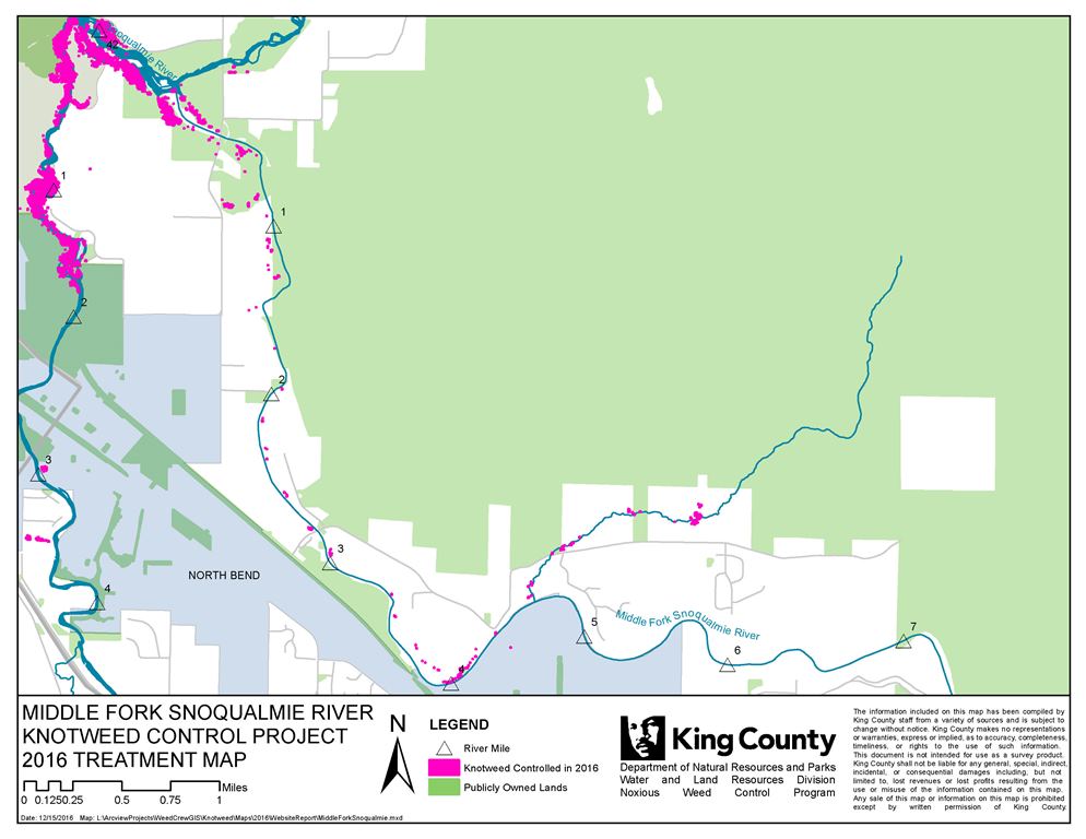
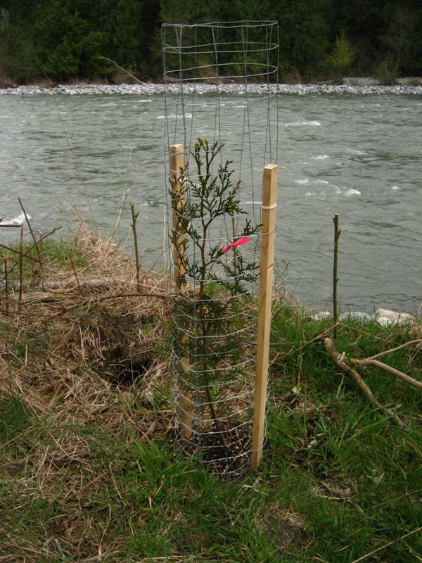
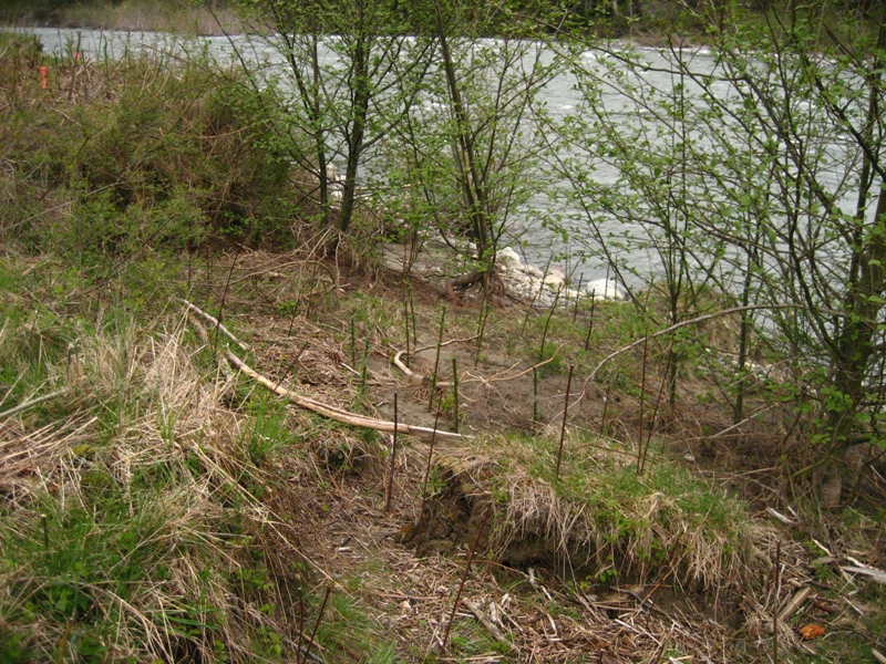
This project started in 2005 on Roaring Creek, a tributary that enters the mainstem of the river around RM 4, and as of 2015, the entire project area has received several years of treatment from the upper infestation to the confluence with the North Fork and South Fork at Three Forks Park. Replanting started in winter of 2010/2011 at Tanner landing and continued for the next three years.
Project area (download map file)
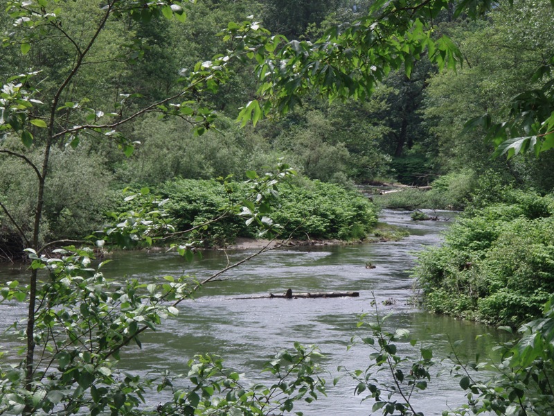
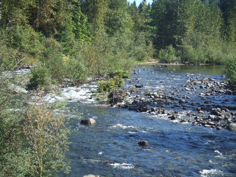
RM 0 to 4 on the Middle Fork, and RM 0 to 2.5 on Roaring Creek. The project area includes Little Si Natural area, Mt Si Road and Tanner Landing.
The only tributary covered in the project area is Roaring Creek.
News and updates
Funding is secure to continue the maintenance of existing control work for at least the next few years and replanting will be done as needed and as resources permit.
Need more information or want to get your property included? Contact us at noxious.weeds@kingcounty.gov.
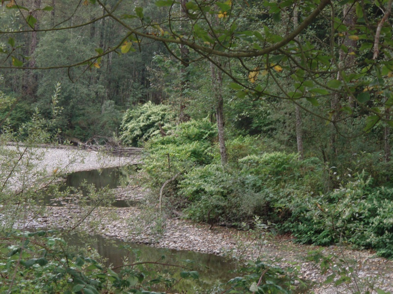
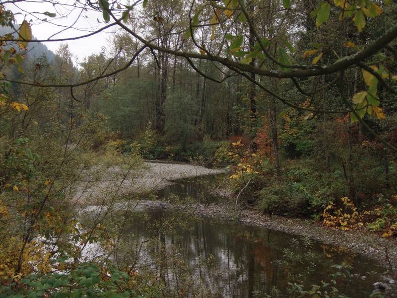
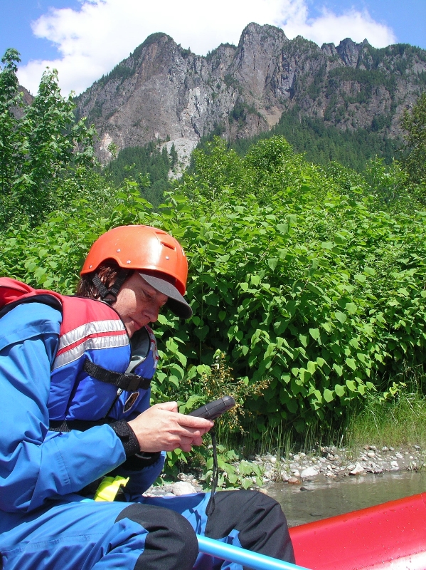
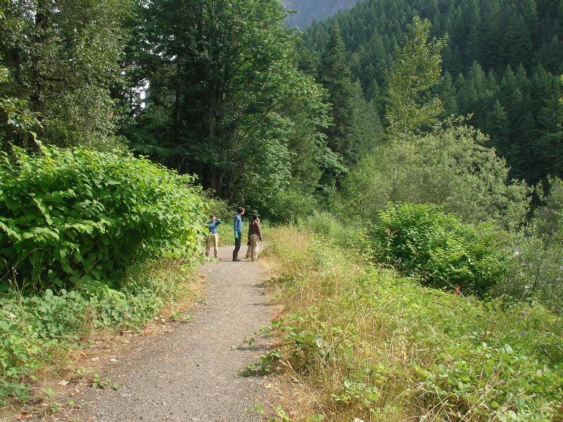
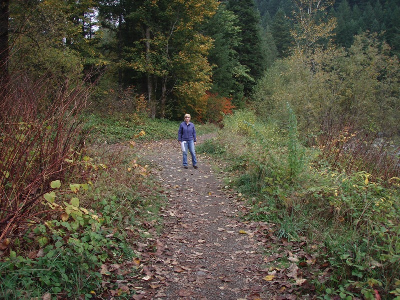
Photos - click thumbnail for larger image
Funding
- U.S. Environmental Protection Agency
Knotweed resources
- Identification and control information
- Instructional videos on knotweed control
- Invasive Knotweed Brochure (pdf, 2 Mb)
- Knotweed Best Management Practices (pdf, 649 Kb)
- Workshops
- How to borrow a stem injector (pdf, 13 Kb)
Projects
Watershed information
- King County Watersheds Map
- WRIA 7 - Snoqualmie/Skykomish
- WRIA 8 - Cedar/Lake Washington
- WRIA 9 - Green River/Soos Creek
Related information
Related agencies
- King County Flood Control District
- Dept. of Natural Resources and Parks
- Water and Land Resources Division
- Department of Local Services, Permitting Division
Program offices are located at 201 S. Jackson St., Suite 600, Seattle, WA 98104. To contact staff, see the Noxious Weed Control Program Directory, send an email, or call 206-477-WEED (206-477-9333).