
 Translate
Green River - Soos Creek knotweed control project in King County, Washington
Project overview
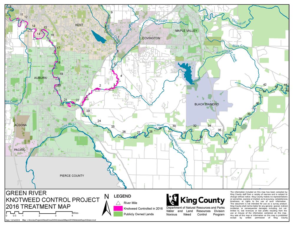
Project area (download map file)
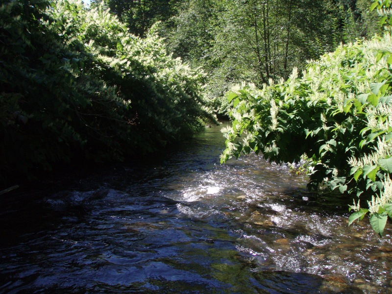
The project area on the Green River extends from the uppermost infestation at Flaming Geyser State Park down to the City of Auburn city limits, and the project area on Soos Creek extends up to the wetland complex under SE 272nd St (Hwy 516).
Specifically, this area covers RM 21 to 49 on the Green River (as well as some discontinuous sites in the upper watershed), and RM 0 to 5 on Soos Creek. This area includes Kanaskat Palmer, Flaming Geyser State Park, O’Grady, Auburn Narrows and Soos Creek Hatchery/ Hatchery Park. The project ends at the Auburn City limits.
Tributaries covered in the project area include Soos Creek (Big and Little), Jenkins Creek, Suzette Creek, and Newaukum Creek.
News and updates
From 2012 to 2014, the Noxious Weed Control Program began working on this project from a more interdisciplinary perspective including water quality monitoring and increased habitat restoration by partnering with other county groups, made possible in large part by a grant from Washington Department of Ecology and the Environmental Protection Agency. Project results from 2012 to 2014 are summarized in the following table:
|
Area Surveyed |
Gross Area Treated |
Net Area Treated |
Crew Hours |
Staff Hours |
|
|
2012 |
165.0 acres |
10.42 acres |
2.25 acres |
360 |
167 |
|
2013 |
257.4 acres |
8.35 acres |
1.37 acres |
480 |
140 |
|
2014 |
388.3acres |
11.59 acres |
1.51 acres |
660 |
178 |
(*Gross infested area is defined as the smallest area that can be created around any two plants within 50 linear feet of each other. Net acreage is the total number of square feet occupied by plants within that gross acreage.)
Other accomplishments from 2012-2014 included:
- Knotweed surveys along 25 river miles of shoreline, covering approximately 810 acres
- Closer partnerships between all stakeholders as the gaps between complementary project areas diminish
- Training for 60 crew members who worked on the project over the years
Need more information or want to get your property included? Contact us at noxious.weeds@kingcounty.gov.
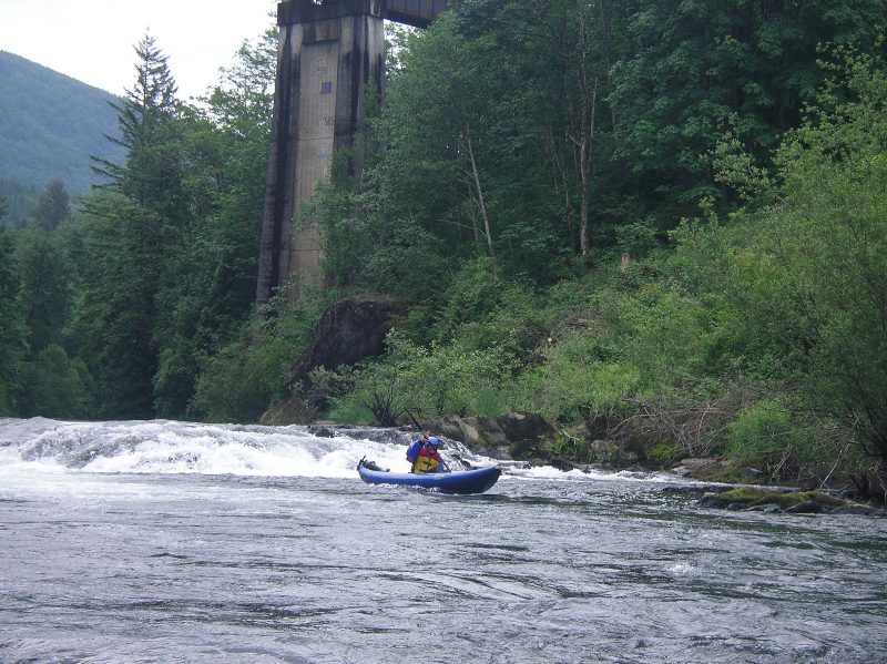
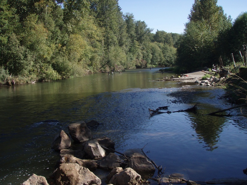
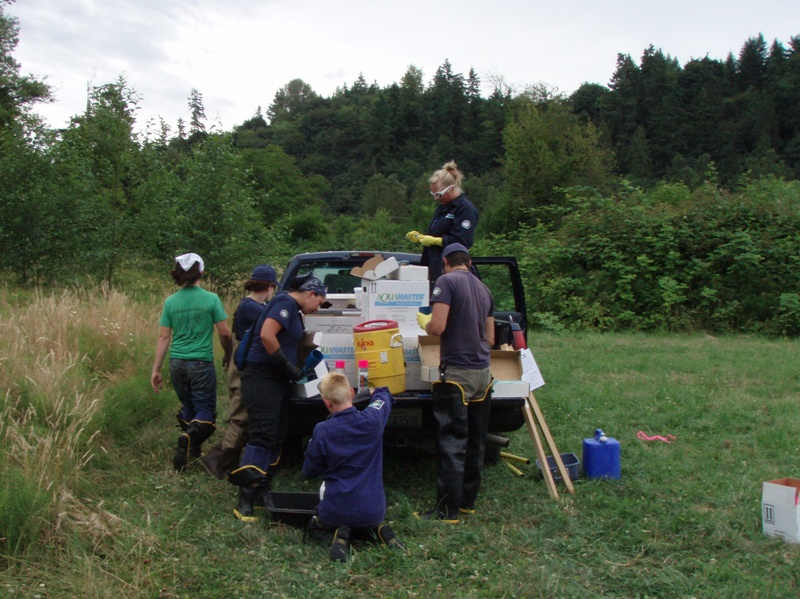
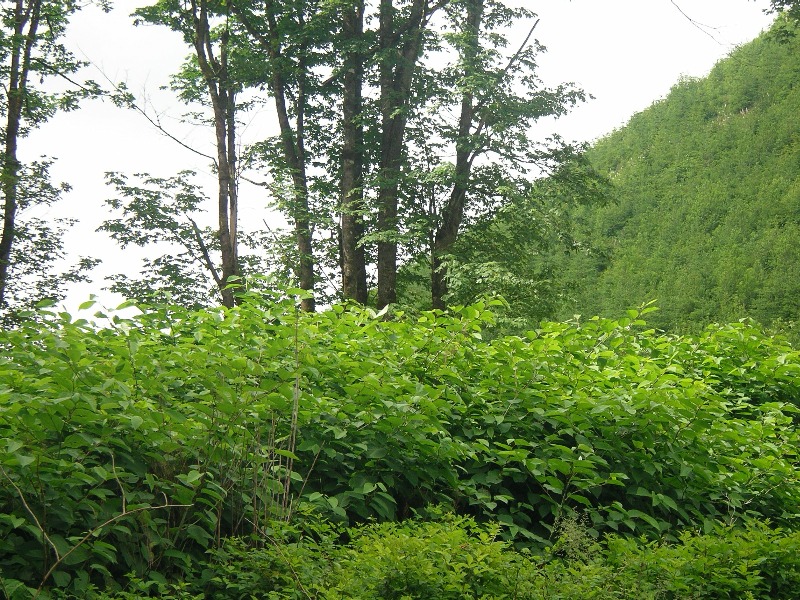
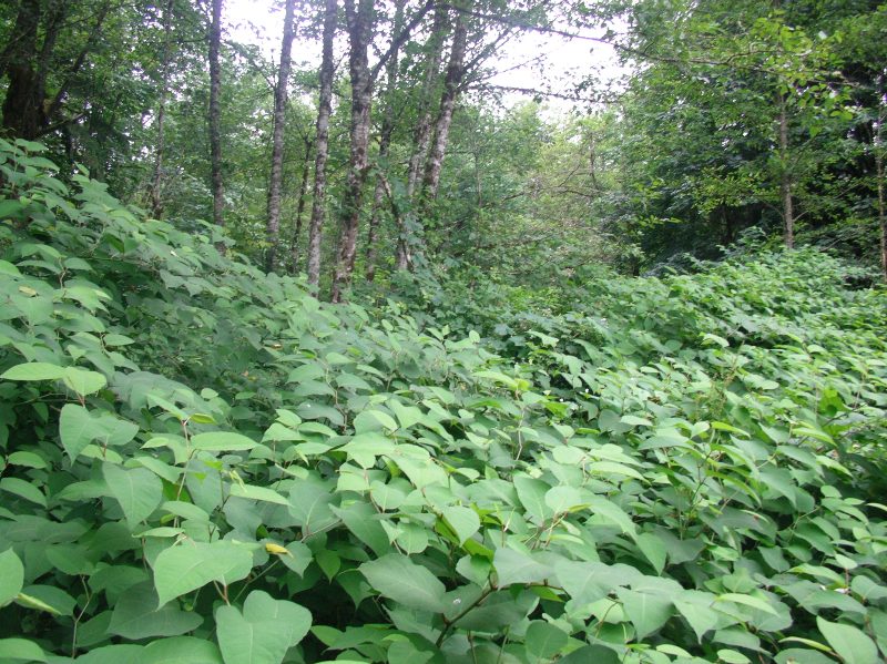
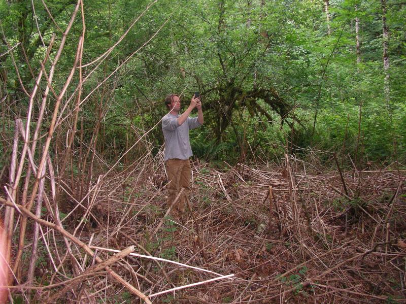
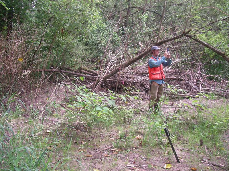
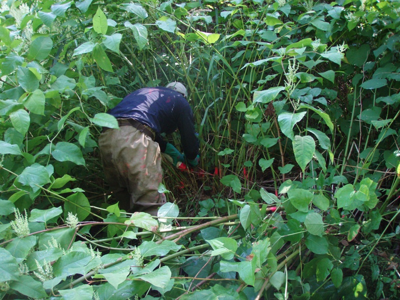
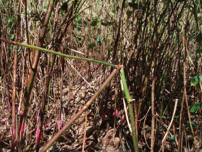
Photos - click thumbnail for larger image
 >
>
Funding
- U.S. Fish and Wildlife Service
- National Fish and Wildlife Foundation
- Environmental Protection Agency
- Washington Department of Ecology
Knotweed resources
- Identification and control information
- Instructional videos on knotweed control
- Invasive Knotweed Brochure (pdf, 2 Mb)
- Knotweed Best Management Practices (pdf, 649 Kb)
- Workshops
- How to borrow a stem injector (pdf, 13 Kb)
Projects
Watershed information
- King County Watersheds Map
- WRIA 7 - Snoqualmie/Skykomish
- WRIA 8 - Cedar/Lake Washington
- WRIA 9 - Green River/Soos Creek
Related information
Related agencies
- King County Flood Control District
- Dept. of Natural Resources and Parks
- Water and Land Resources Division
- Department of Local Services, Permitting Division
Program offices are located at 201 S. Jackson St., Suite 600, Seattle, WA 98104. To contact staff, see the Noxious Weed Control Program Directory, send an email, or call 206-477-WEED (206-477-9333).